Friday, December 23, 2016


New York subway may seems a little confusing to first-time NYC tourists, but it's actually quite simple once use the subway map, it explains all the routes and schedules. NY subway stations is very to find especially in Midtown Manhattan.


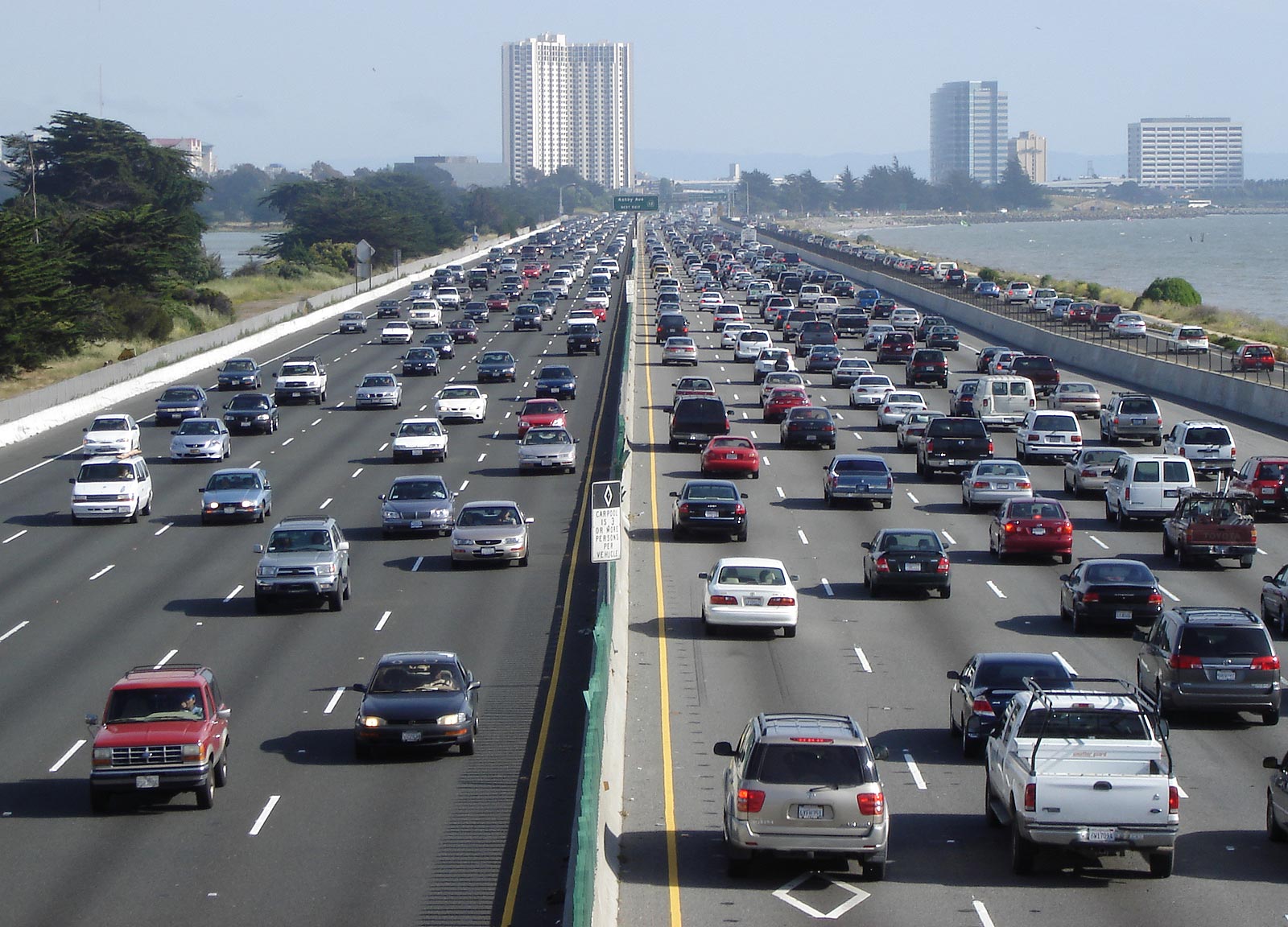
    The NY bus system has became one of the main transportation systems commuters use. For the seating is on a first come, first serve basis and the MetroCards are used for payment.  Keep in mind that although NY bus fares are cheaper but they are affected by traffic congestion and are likely to be delayed.  Express buses are available and cost $5.50 per ride but it gets you to your destination faster.


Tuesday, December 20, 2016

island roads


 O'ahu island is the third largest of the Hawaiian islands, this map is a guide to the basic major roads and interstates, with the added major volcano of the area. this map is used to understand the basic layout of the island and is simple and easy to understand. 
Not only is this map good for a general bearings for all ages because of its easy to read qualities it also acts as an emergency map.this map showing exactly what where you would need to be in the case of an emergency with the added video so show a general know how of the terrain. and shows of Hawaii's best qualities. 


this map can be used in junction with the main map because its effectiveness lies in the fact that you would only need a basic understanding of the English language. using side by side tourists and locals alike can find out where exactly and why can understand them.


How to better your business with GIS


Our country is a very diverse place. Some people may not accept it, some people may not even realize it. 

I am from Malden, 7 minutes north of Boston. Malden is a very diverse city. In fact, Malden High School (I did not attend) was recently named the most diverse high school in all of Massachusetts.

With a diverse demographic comes diverse restaurants and stores. Towns like Marblehead have your average roast beef shop or pizza place. Heavily populated diverse cities such as Malden have places like Habesha Ethiopian restaurant and Oppa’s Korean kitchen and bar.


Malden, MA current ethnic restaurant location
What I did was look at what neighborhoods consisted of what nationalities, where are the most popular ethnic restaurants in Malden, and where they can relocate to better improve business and suffice the people living in those areas depending or race.


I gathered my data through ESRI online. It took a lot of trial and error to finally find the data I was looking for which was Malden, Massachusetts’ demographics by neighborhood. I ended up finding exactly what I was looking for. The data contained the outline of Malden, divided neighborhoods, surrounding cities, tract census, population and demographics for each neighborhood, and Massachusetts blockgroups.

Farms in the Greater Boston Area are Affected By Question 3

Farms in the Greater Boston Are Affected by Question 3

This years ballot contained four questions that would be approved or defeated. Question 3 particularly was about prohibiting certain methods of farm animal containment. 

Areas affected by this law would be places near the city or more populated areas.   


This map shows where there are farms in the Boston area. These areas would be affected by this law because they don't have a lot of room to store their animals to begin with. There are a lot more roads, houses, people, buildings, and cars in these places so there is not a lot of room to create a farm with a lot of room for animals. 


This law ended up being passed so now some farms in this area are definitely affected by it. 
Farms out west in Massachusetts and in the United States in general have lots of room to let their cattle and animals rest and live through their lives comfortably. Even though the cities are going to be affected with this law, farms with mass amount of animals for food or breeding will be affected too.


This law took place because people who were breeding Pigs, calves, and hens for the food they produce were being contained in small cages. These confined spaces kept the animals from lying down, standing up, and fully extending its limbs and that is just what "confined" is stood for in the law. The law will have an exception of temporary holding sells for transportation. 

This map shows the results from the ballot by towns. 22% people were against the law while 77% were for it. Most of Massachusetts were for the restrictions of animal containment.  


African American Communities in New England


African American Communities in New England

With the creation and expansion of the Black Lives Matter over the past three years, it has been a leading topic of discussion in the daily lives of people across the United States, most importantly the recent presidential election. As protests begin frequently in African American communities in the Midwest, South, and Mid-Atlantic states, we rarely hear of any in New England. There have been events in Massachusetts, but not many in the rest of New England. I was curious to see why and just how many African American communities  New England has as a whole. 

Using a base of a population of 3,000, I found that Massachusetts had the highest population, with communities located in eight counties. Six of Connecticut's counties had populations of 3,000 or more, and Rhode Island only had three. The three remaining New England states (New Hampshire, Maine, and Vermont) contain one or less county with populations of 3,000 or greater. These states have been known to have mostly white populations, even 96% in some places. Looking at data from the U.S. Census, we can see that even though these areas have populations of several races, the dominant is white.
Maine
 With almost 95% of the population being white in most places, it's clear that the issues of the Black Lives Matter movement and community are not as relevant and don't make as much of an impact in those areas. The people in New Hampshire, Maine, and Vermont show support for the cause through rallies and Presidential candidate Bernie Sanders of Vermont is a major supporter. However, since the population is not as significant in these areas, the cause is not seen as relevant as others that are more regionally significant. Those African Americans who do move to the area are seen by some as "pioneers", and are "trying to pave the way for growing diversity", according to John Tucker, who lives in Burlington, VT and was interviewed by ABC News. These are the same words used throughout the world for the men and women of the Black Lives Matter movement, who strive for diversity and equality.


New Hampshire


http://www.census.gov/quickfacts/table/PST045215/33
http://abcnews.go.com/US/story?id=93608&page=1
Vermont

All About Interstates: Interstates in the Continental U.S

With the Interstate system's creation coming up on almost a quarter of a century, I thought it would be fun to explore and learn more about the interstate system that I know I use daily, and so many others do too!


Image result for interstate pictures


Did you know that the Interstate System is currently 46,876 miles long? That is nearly double the Earth's total circumference (which, is 24,901 miles).  The Interstate system makes it possible for us to travel coast to coast via a road system. The longest Interstate system would be I-90, which begins in Seattle Washington, and ends right here in Boston! We know I-90 as the Mass Turnpike, or Mass Pike. This is a road I myself travel daily- and I had no idea it extended a few thousand miles beyond our state border. The shortest interstate is I-97, from Annapolis to Baltimore, a mere 17.62 miles! That is a one way trip to my job for me from my home. But, it is one of our interstate highways! There are several routes with lengths all in between. I-95 is the interstate that covers the most states, with 16 states in it's path (no pun intended), and Texas has the most interstate mileage.


As you could imagine, it took many years to construct so many roadways. The project was brought to light in 1939 with a proposal to Congress, but then officially began in 1956.  President Eisenhower is credited with the beginning and invention of the Interstate system as he signed the Federal-Aid Highway act in 1956. This act also holds the government responsible for 90% of the costs.

Each state operates the interstates within it. For example the folks in Seattle on the other end of I-90 do not have to worry about the Massachusetts end.


Info: https://www.fhwa.dot.gov/interstate/faq.cfm

http://www.infoplease.com/spot/interstate-trivia.html

http://www.arcgis.com/home/item.html?id=1bca8077671b4089b28436fd2dbe2611

Monday, December 19, 2016

Cities in the United States Near Rivers


The United States never used to have roads, highways, trains, or airplanes. There was once a time where the only means of travel as the United States was expanding, was by water. This forced many major cities to be built near water, so that they were closer to resources.


http://www.johnweeks.com/river_mississippi/


As you can see if you were to look at a combination of the previous map and this map of the Mississippi River, there are a lot of cities located along that one river. This is because, transporting goods back when new cities were starting up, was easiest and fastest by water. The Mississippi River connects cities from the the East Coast, Central and North Central America to Southern America, so many cities made sure to start up close enough to the Mississippi River to take advantage of the resources.


One of these cities being Memphis Tennessee.

http://www.crestcore.com/


Memphis is located right on the Mississippi river, and began growing as a city due to it's location along the river. They could bring in more supplies because of the Mississippi. From the East Coast, and Central America, Memphis could bring in many different supplies to help their growing city.


Sunday, December 18, 2016

Mount Shasta


 Mount Shasta is the second largest volcano of the cascade range, which is located in Siskiyou County, (Northern California). it has a complex summit that consists of four overlapping volcanic cones, the main cone of 12,330 foot (3,760 m).


https://www.fromthegrapevine.com/slideshows/nature/7-dormant-volcanoes-you-may-not-know-about/page/5


Mount shasta is the second highest mountain in the cascade range. it rises to more than 14,000 feet, the volcano has erupted an average of once every 600 years. this mountain is popular with climbers and hikers due to the relative ease of ascent.


According to volcanoes5.wikispaces.com Mount Shasta us about 593,000 years ago. during the last 10,000 years Mount Shasta has erupted an average of every 800 years but in the past 4,500 years the volcano has erupted an average of every 600 years. the last time that Mount Shasta actives was two centuries ago.


Check it out Mount Shasta during Winter.

sources:

  • https://volcanoes5.wikispaces.com/Mt.Shasta,+CA
  • https://www.fromthegrapevine.com/slideshows/nature/7-dormant-volcanoes-you-may-not-know-about/page/5
  • https://www.volcanodiscovery.com/mount_shasta.html
  • https://www.youtube.com/watch?v=s43Lr6CTe4Y


Volcanoes in Hawaii


How many volcanoes are in Hawaii? 

There are six volcanoes on the Hawaiian Islands. However, only five of those volcanoes are active.


The bright blue dots represent Holocene volcanoes which means they are young. 


What are the names of the five active volcanoes?

On the big island there are four volcanoes. The most active volcano is Kilauea. The largest volcano is Mauna Loa it is also the worlds largest. The third youngest volcano is Hualalai. Mauna Kea is a dormant volcano and the highest peak in the state of Hawaii. The volcano on the island of Maui is named Haleakala.

Kilauea, which is pictured above, is the most visited active volcano on earth. 
Mauna Lao
Hualalai
Mauna Kea 
Haleakala

http://www.gohawaii.com/big-island/regions-neighborhoods/kau/hawaii-volcanoes-national-park/

Saturday, December 17, 2016

The Proximity of Public Transportation to Food Banks in Essex County, MA


(c) Flickr
The Department of Agriculture reports that in 2014 approximately 9.6 percent of households in Massachusetts struggled with food insecurity (Status Report on Hunger in Massachusetts). According to the Food and Agriculture Organization of the United Nation, food security is defined as existing “when all people, at all times, have physical, social and economic access to sufficient, safe and nutritious food which meets their dietary needs and food preferences for an active and healthy life” (Coleman-Jensen) Of the 9.6 percent food insecure households in Massachusetts, 4.1 percent face “very low food security” (Status Report on Hunger in Massachusetts). 

In many communities, food banks fill a vital need, aiding residents in their daily challenge to achieve food security. In Essex County alone, there are currently 26 food banks providing this vital help to families and individuals. However, for those who lack access to reliable transportation of their own, public transportation can be a crucial factor in accessing the benefits of food banks.

(c) Blogspot
The vast majority of food bank locations in Essex County have MBTA stops within a mile walk — with many in significantly closer proximity to public transportation. This is good news for people in communities like Lynn, Salem, and Lawrence who have relatively easy access to food banks via public transportation. As the map below reveals, however, the plight of those in Middleton, Lynnfield, and Amesbury is more challenging, given that the closest public transportation is more than a mile away.

Many factors determine food security and many more factors can play a role in alleviating hunger from the lives of people in communities across Essex County. Careful selection of food pantry locations to ensure the easiest accessibility possible by people from all walks of life is one way of maximizing the positive impact that food pantries can have.

The map below shows the location of Essex County’s 26 food banks, along with the MBTA stops in closest proximity to each of them.


Washington females In Correlation to Drs.


For my map I chose to show how many females live in Washington state and compare it to how many female doctors there are. One of the largest dramas on TV right now is Grey’s Anatomy. It follows a female surgeon and her coworkers lives at the hospital.


There are only 5 cities that have over 100,000 females: Seattle, Spokane, Vancouver, Tacoma, and Bellevue.


In 2014, there were 19,260 physicians with Washington licenses and 15,421 providing direct patient care in the state.


Women make up less than half of Washington’s physician work force in each specialty except general pediatrics and obstetrics- gynecology.

The counties with the higher female population also contain the cities with more than 100,000 females.